Explore the map
Search a place, browse community-mapped camera locations, and filter the records shown in an area.
A clearer view of your surroundings
Explore community-mapped camera locations, inspect available source records, and see what is nearby or along a route.
Coming to iOS and Android
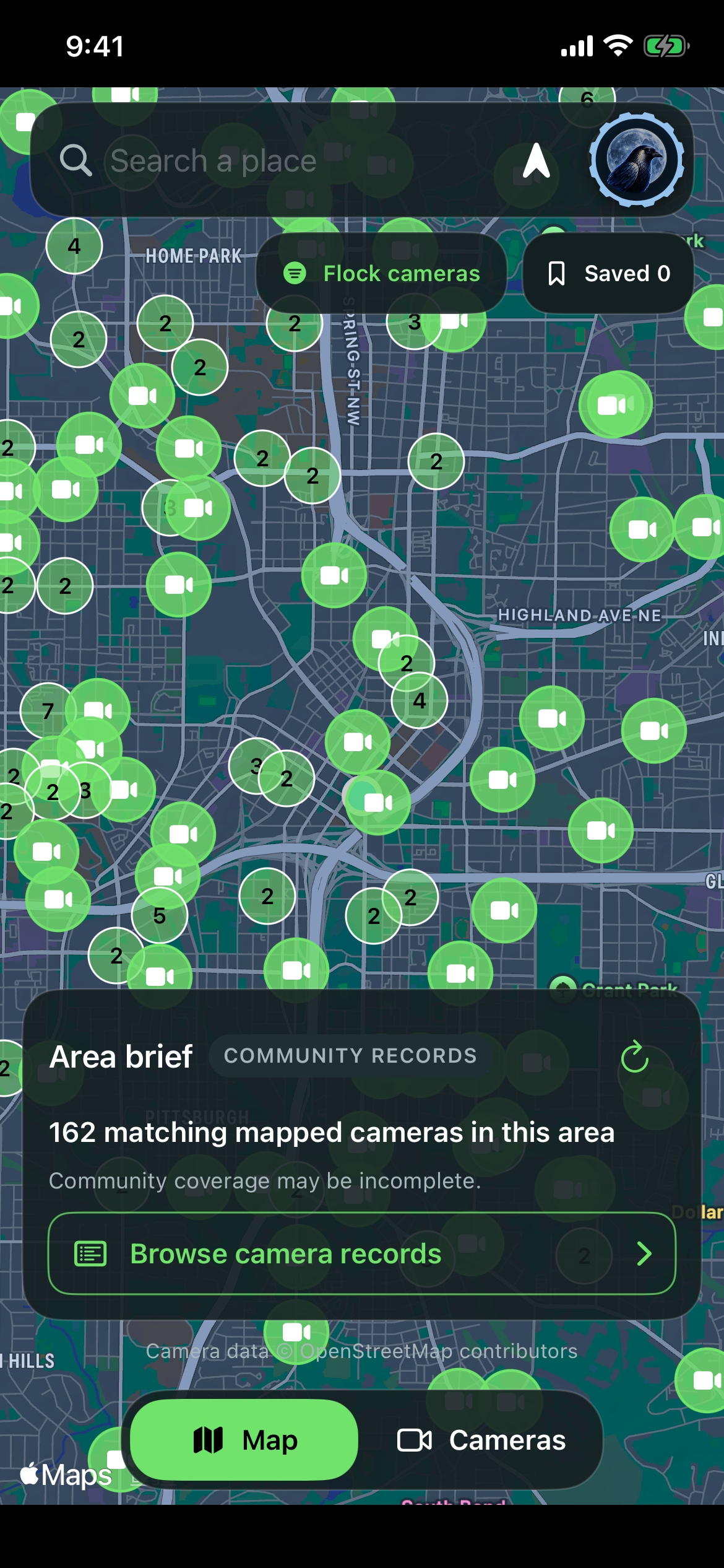
What the app does
Search a place, browse community-mapped camera locations, and filter the records shown in an area.
Open a mapped record to see its reported details and follow the original source when a link is available.
Use nearby and route tools to consider available mapped records around a place or along a trip.
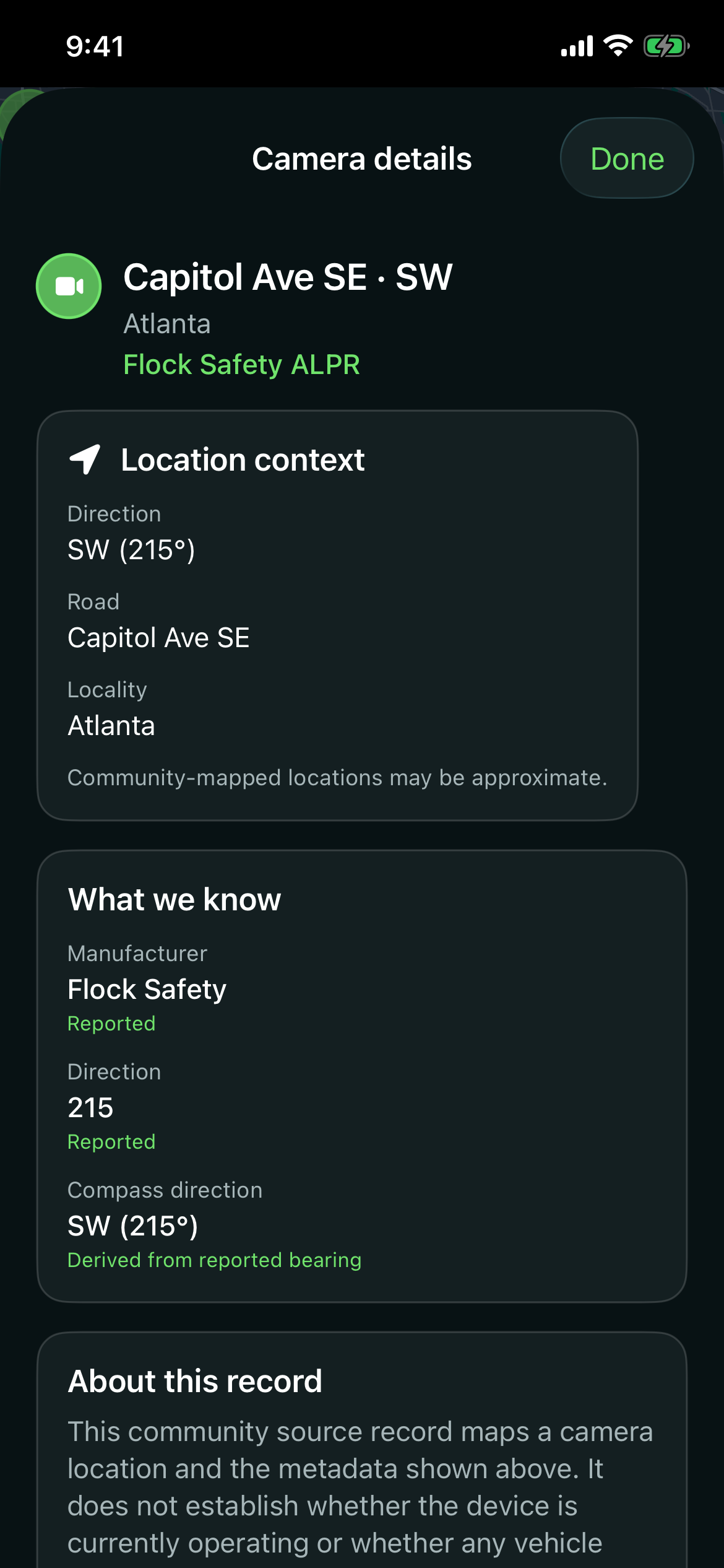
The record behind a marker
Camera details keep source-reported fields separate from labels and direction context derived by the app. You can open the source record when one is available.
A mapped location does not establish whether a camera is currently operating or whether any vehicle was scanned.
About the data
Mapped records can be incomplete or out of date. Flock AFO shows the information available from community sources and helps you inspect the original record where one is provided.
The app uses camera-location data made available through FlockHopper’s deflock-data project, derived from OpenStreetMap contributions. The mapped data is available under the ODbL 1.0 license.
Keep exploring